


Digital Solutions

Geospatial
An industry-proven mapping and modelling solution catering to all infrastructure professionals, including engineers, environmentalists, contractors, and project managers. The web-based platform offers a unified view of all project information, such as BIM, GIS, dashboards, and documentation. With user-friendly tools, teams can easily visualise and analyse spatial data, streamlining decision-making and improving project delivery.
Use cases for Geospatial range from planning and route alignment for linear infrastructure such as roads, railways, power lines and pipelines, to the management of stakeholder relationships.
Consents Management
Enables integrated infrastructure delivery through engagement, consent, and construction. It supports experts in navigating the project lifecycle, including stakeholder engagement, land referencing, survey management, and land acquisition. Professionals can store, manage, and track stakeholder and land parcel data accurately. Leveraging advanced GIS and AI, it automates key aspects of the consenting process like the Book of Reference and the Consultation process. This flexible system adapts to any project, stakeholder, or sector.

Carbon Portal
A cross-sector decarbonisation solution used to manage and reduce carbon on global infrastructure projects. It enhances carbon decision-making, accounting, and low-carbon design. Intuitive for all users, it aligns with PAS 2080 for collaborative, scalable carbon management.

Inspect
Used for site inspections, Inspect helps capture, order, geolocate, code, and classify field data, such as notes and photos. Data can be captured from any mobile device and is stored online in a secure and safe cloud environment where it can be verified by approvers, visualised and analysed. It can then be exported in various formats to meet project needs for reporting, progress tracking and analysis.

Intelligent Content
Provides a managed library of information-rich, parametric BIM objects that can be reused instead of recreated, and optimised with each successive use. Supporting the content library is a team of experts creating and quality-checking all objects, reducing model development time and enabling the rapid prototyping of designs.

The Buildings Configurator
A suite of integrated digital tools that accelerates early business case development and concept design for new buildings. It combines demand and capacity modelling, schedule of accommodation creation and massing and stacking to help teams understand service needs, define space requirements, test layout options and build a robust foundation for decision‑making. By bringing these components into one streamlined workflow, the Configurator enables users to break down complex information, compare options and ensure every solution is quality‑controlled, efficient and costed at each stage.

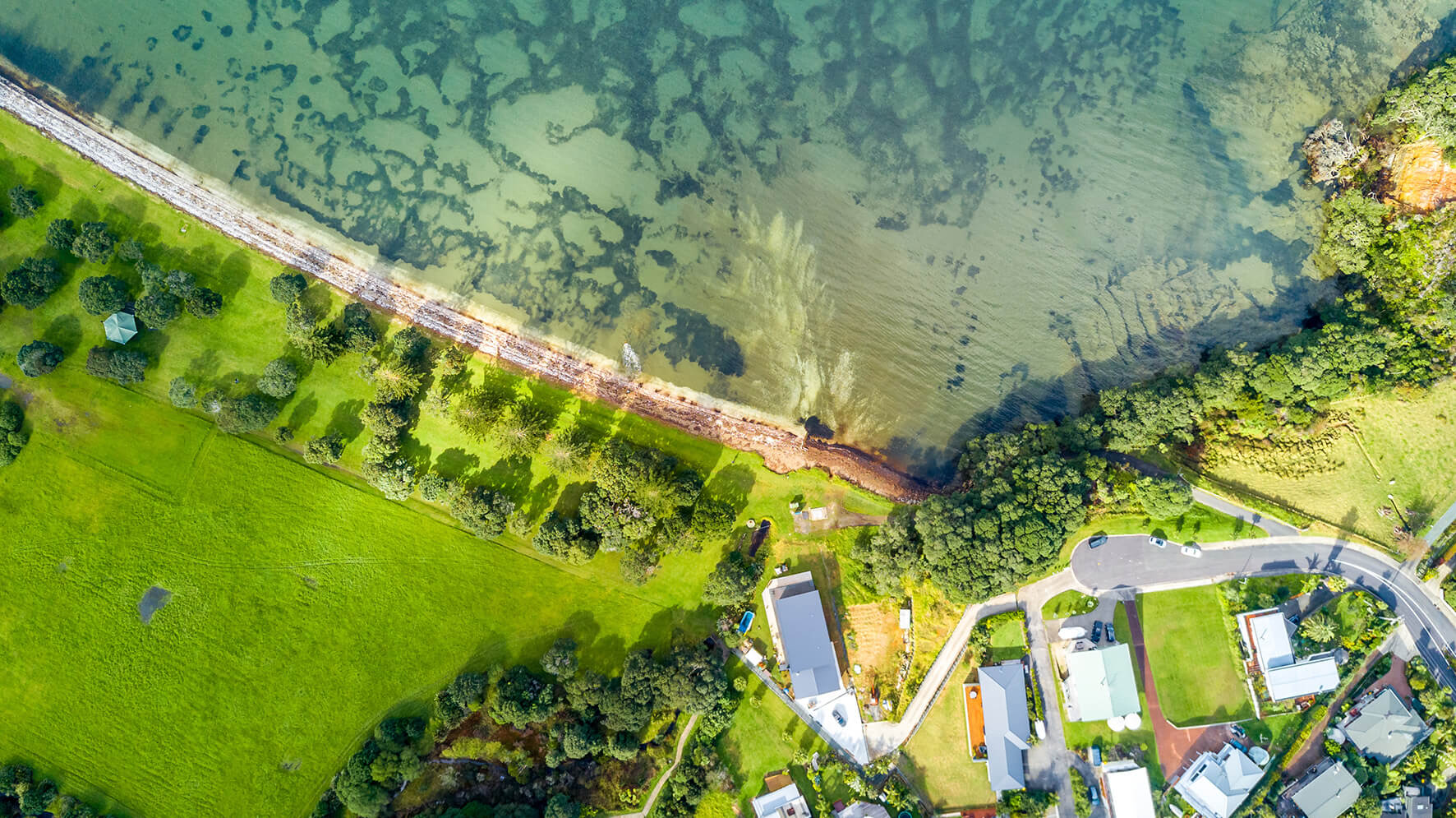
Safe Swim
Safe Swim provides public information on water quality, so people know when and where they can safely enter the sea.
It also aids water companies in gaining a better understanding of their system performance and enhancing management. Additionally, the generated data records can be utilized to build compelling business cases for investing in new assets.
Biodiversity Net Gain
Turns complex statutory biodiversity metric data into clear, visual insights that help project teams quickly understand their Biodiversity Net Gain performance. It highlights risks, compares metric options, and supports faster, more informed decision‑making throughout the design and delivery process. At portfolio level, it aggregates multiple calculations to show overall performance, reveal trends, and pinpoint opportunities for improvement, making BNG data accessible to both specialists and non‑specialists.
Route Optimiser
Equips planners and designers to find the most efficient alignment for pipelines, taking into account environmental and social constraints alongside capital and operational costs. A clear and intuitive web-based graphic interface assists stakeholder engagement and communication, and supports effective data-driven decisions.

Visualiser
An interactive, virtual reality‑enabled tool that lets users explore integrated scheme designs and real operational scenarios before anything is built, making complex designs easier for everyone to understand. It removes technical barriers and supports clearer, earlier decision‑making across projects.
Smart Water
Smart Water harnesses data to improve water resource management, water treatment and transmission, and wastewater collection and treatment.
It provides real-time and predictive insights asset performance to enable proactive maintenance and better decision making.

Safe by Design
Drives behavioural change in project delivery by making health and safety risk information visible to all project team members. A mapping and modelling approach is used to represent an entire project in multiple dimensions. Within the model, hazards can be geolocated, categorised, scored and filtered. Dashboard visualisation makes it easy to set and track key performance indicators and to benchmark performance against similar projects.

Intelligent Delivery
A comprehensive project, programme and commercial management solution designed to enhance project delivery by integrating data from various sources and stages of a project lifecycle and turning it into actionable project information. From resource management to risk management, it provides a standardised approach to information dissemination and reporting.
Water Resources Forecaster
Blends historic, real-time, and seasonally predicted weather data to estimate river flow and water availability. The results give water and hydropower operators robust projections weeks and months ahead to support future planning and interventions.
Hydraulic Profiler
An integrated process and hydraulics modelling tool that streamlines the design of water treatment works by combining calculations, QA, comments, and high‑quality outputs in one environment. It speeds up modelling, reduces errors, and provides clear, visual feedback to highlight potential design issues—making it easy for both specialists and non‑specialists to build, review and iterate designs efficiently.